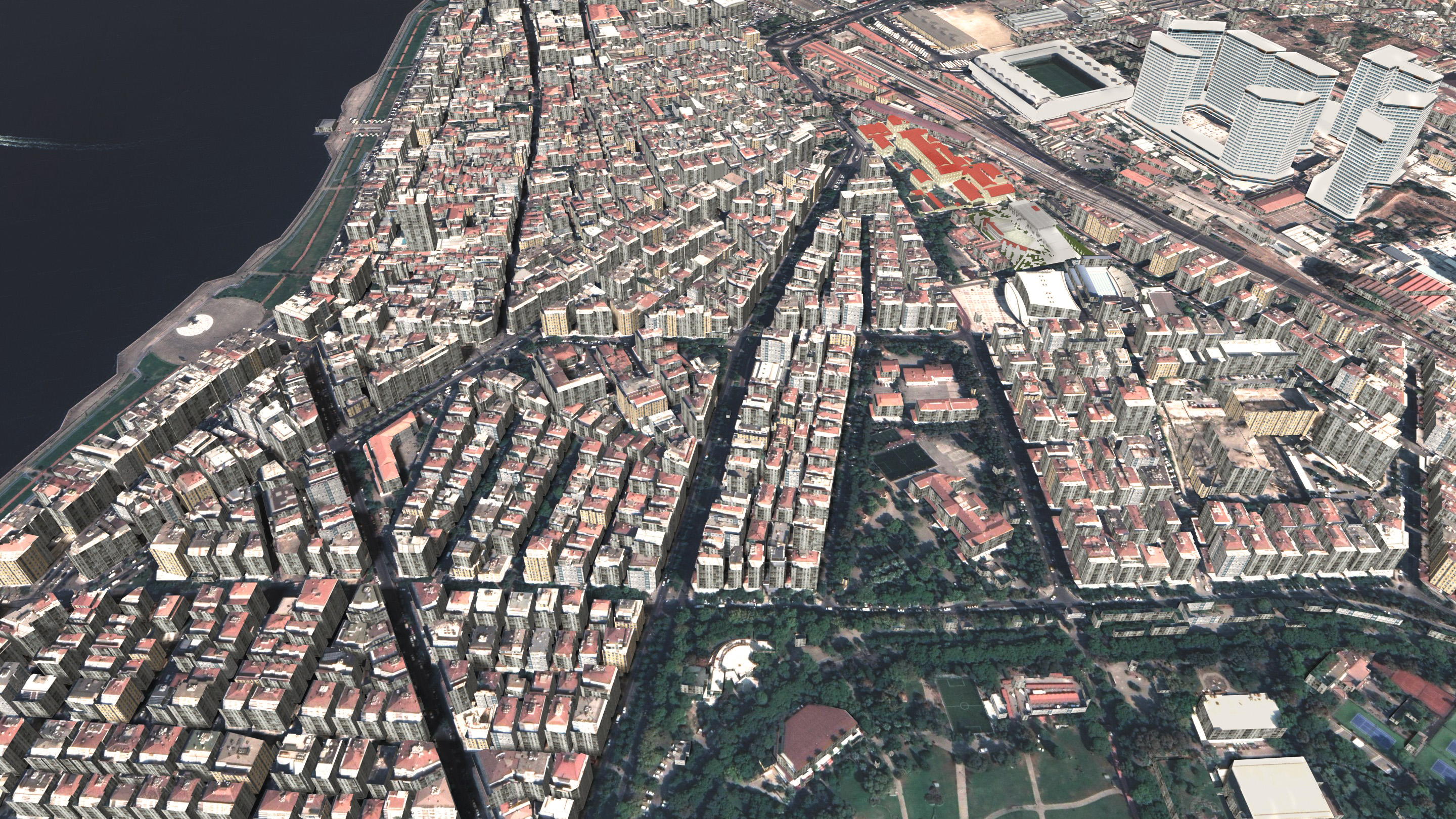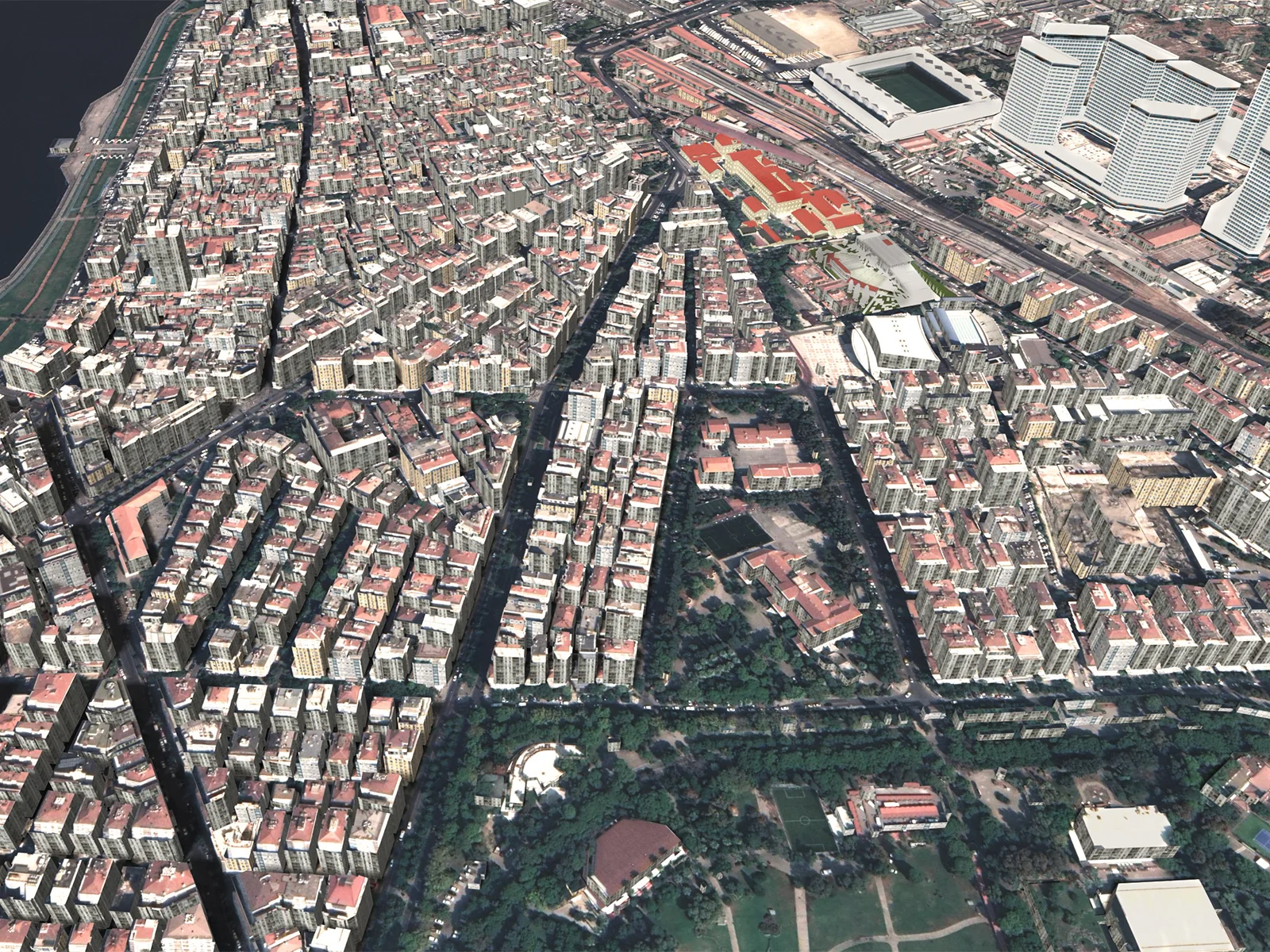
A 1/500 detail, three-dimensional map of the Alsancak District and other parts of the Konak district, created by the combined processing of municipal projects and satellite images provided by Google. The map covers an area of approximately 5km².
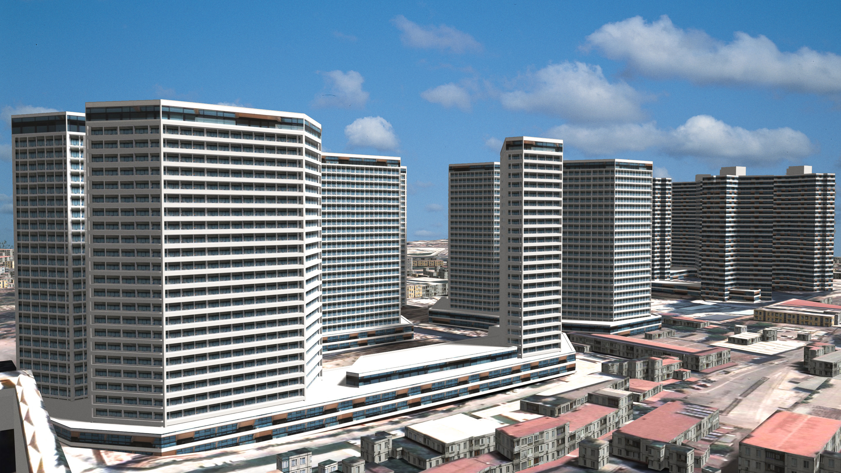
After the project data was cleaned, it was imported into Rhino. Using Grasshopper and IronPython, the buildings were then parametrically extruded to the floor heights specified in the municipal projects. The model was subsequently transferred to Blender via Speckle. In Blender, a topography mesh was generated using plugins, and the satellite image was mapped onto this mesh. The topography mesh was sent back to Rhino via Speckle, allowing the base elevations of the buildings to be adjusted to conform to the topography. Back in Blender, roofs were created by mapping the satellite image onto the buildings' top surfaces using UV maps. Afterwards, a material was applied to the building facades that randomly assigned one of four different mass-housing textures. Iconic landmarks in the city's skyline such as the Stadium and the Alsancak towers (which were under construction at the time), were manually modeled and textured.
You can view the original blender file and textures from this archive.